
Riesling Trail Location
The Updated Riesling Trail Map 2019
Located less than two hours north of Adelaide, the Clare and Gilbert valleys nestle in the North Mount Lofty Ranges in South Australia. The area is rich in natural features and includes some of Australia’s finest agricultural and viticultural land. Low rolling hills create many intimate valleys. There are continuing scenic views of natural vegetation intermingled with picturesque vineyards and cropping land. A diverse range of early settlers created numerous historic villages, many of which are now linked by well developed walking and cycling trails.
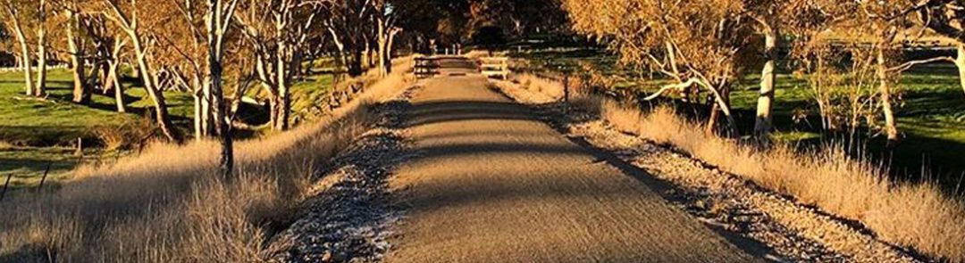
Premier amongst these is the Riesling Trail. Currently some 32 kilometres long, the Trail presently reaches from the historic town of Auburn in the south to Barinia in the north. Utilising the region’s old rail corridor, the Trail passes through the villages of Leasingham, Watervale, Penwortham, Sevenhill and the region’s commercial centre Clare. The trail has a quality formed surface providing for safe and comfortable usage. It is suitable for walkers and cyclists of all ages and experience levels.
The Riesling Trail incorporates a section of the Mawson Trail and is in close proximity to the Heysen Trail. The link to the Mawson Trail enables access to the Rattler and Riverton trails. Numerous loop trails enable users of the Riesling Trail to visit places and attractions of interest throughout the region. The Riesling Trail is seen as a symbolic interpretation of the Clare Valley visitor experience.
The Riesling Trail Characteristics
Some 33 Kms long, the Riesling Trail is a pathway suitable for walkers and cyclists. Built on the Auburn to Barinia section of the original Riverton to Spalding railway line, the Trail operates in both directions.
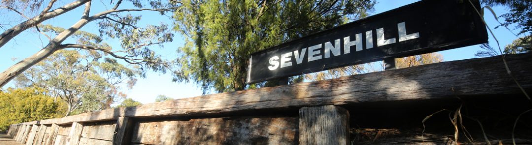
The southern terminus of the Trail is the restored Auburn railway station building, now home to Mount Horrocks Wines. Connected to the township by way of a bridge across the River Wakefield and a shared pathway along a short section of the Main North Road the Trail joins the rail corridor just north of the town. From here it rises through constantly changing picturesque countryside, overlooking many vineyards and providing outstanding views. Passing nearby the hamlet of Leasingham and several winery cellar doors the Trail leads on to the village of Watervale with a range of services, historic locations, more cellar door outlets and a gallery of distinction. Soon after leaving Watervale the Trail passes under the Main North Road and reaches its summit nearby to Penwortham site of the first European settlement in the region. Close by are the heritage-listed St. Mark’s Church and John Horrocks’ Cottage (previously known as Green’s Cottage) linked to the founder of the village, John Ainsworth Horrocks. From Penwortham, the Trail gently descends through panoramic farmlands before reaching the site of the Sevenhill siding with its restored railway platform.
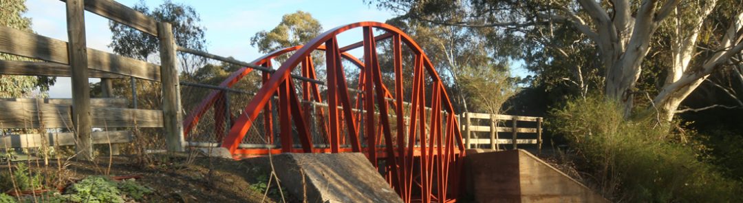
The Trail then enters the well tended vineyards of the historic Jesuit settlement. Begun in 1851 the heritage listed winery, college and St. Aloysius Church are a short distance from the Trail by way of a well developed pathway. Leaving the vineyards the Trail passes over the Quarry Road bridge and skirts the local Showgrounds nearby to the Clare Valley Visitor Information Centre and Clare Caravan Park. These resources are linked to the Trail via a short section of the Showgrounds. Passing more cellar door outlets it reaches the town of Clare at the site of the former Clare railway station. Proceeding northwards the Trail leaves Clare, crosses the Farrell Flat Road railway bridge and enters a deep cutting before reaching a high embankment overlooking more well tended vineyards. After crossing the White Hut Road the Trail enters a short section of natural bushland before reaching Hubbe Road and passing nearby to the historic White Hut Cemetery. Entering more vineyards and crossing the White Hut Creek the Trail reaches Barinia Road its northern terminus.
Along the way many scenic views enhance the experience for Trail users.
Townships along the Riesling Trail
Approximate Distance
Auburn – Leasingham 7km
Leasingham – Watervale2km
Watervale – Penwortham5km
Penwortham – Sevenhill 2km
Sevenhill – Clare 8km
Clare – Barinia Road 9km
Total Length 32km
Usage
Multi use for walking and cycling, also ideal for both wheelchairs and pushers. Whilst the Trail can be cycled in approximately 3 hours the experience will be enhanced by taking longer and visiting attractions along the Trail its many side roads or the signed loop trails.
Terrain
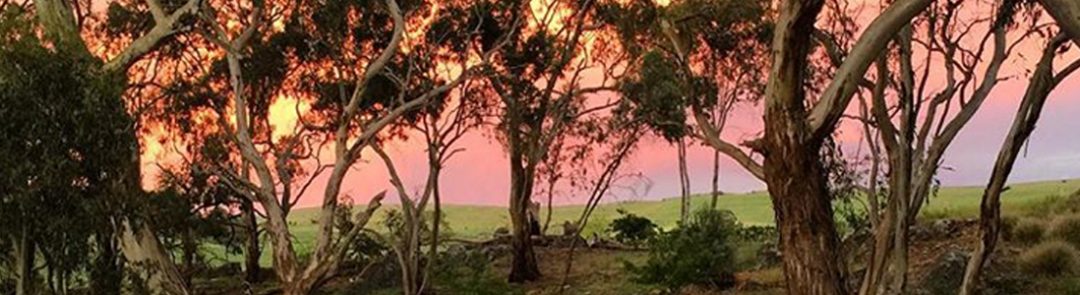
Picturesque countryside with spectacular views of the valley’s vineyards and rolling hillsides, a tranquil and safe thoroughfare with a gentle gradient.
Season
Suitable for year round usage but summer months may need caution because of possible high temperatures. Every season has its charm.
Signage
Markers used for direction and distance indication are at regular intervals along the Trail.